Additional stage (between stage 3 and 4)

Note on the optional additional stage

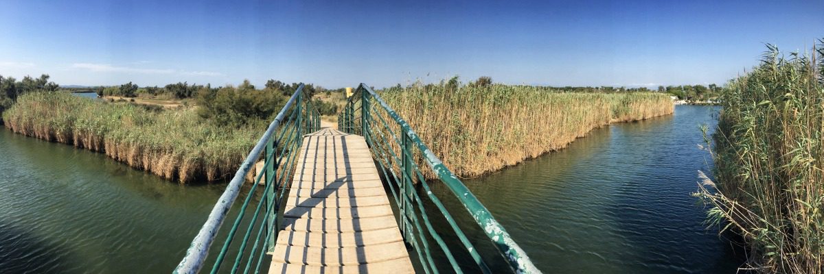
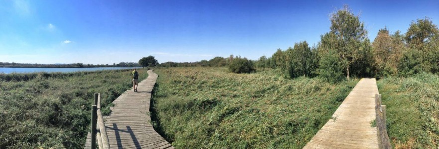
The official GR92 circles the retort town of Empuriabrava and leads from Roses through the flat, agriculturally used hinterland. This is also worth seeing, but it would take a whole day to go around Empuriabrava. And in the evening you would be in no-man's land with no place to stay.

We therefore recommend skipping this part of the official GR92 and instead taking a taxi from Roses to Empuriabrava and joining stage 4 there. Since the last part of stage 3 leads mainly through urban areas and past the harbour, you should even consider calling a taxi at Platja Almadrava (e.g. at www.costabravataxi.de, owner speaks German).

For those who absolutely want to walk the "real" GR92, we have drawn the map for the additional stage here: Map for the additional stage. Overnight accommodation is only available at the stage destination during the high season with your own tent at the Almata campsite, or you can branch off to Empuriabrava in good time (Link: Camping Almata). We therefore recommend skipping the additional stage!

GR92 Stage 4: Map

Stage 4: Route description

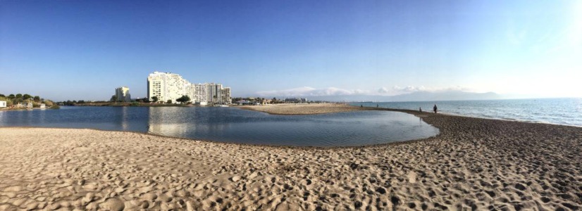
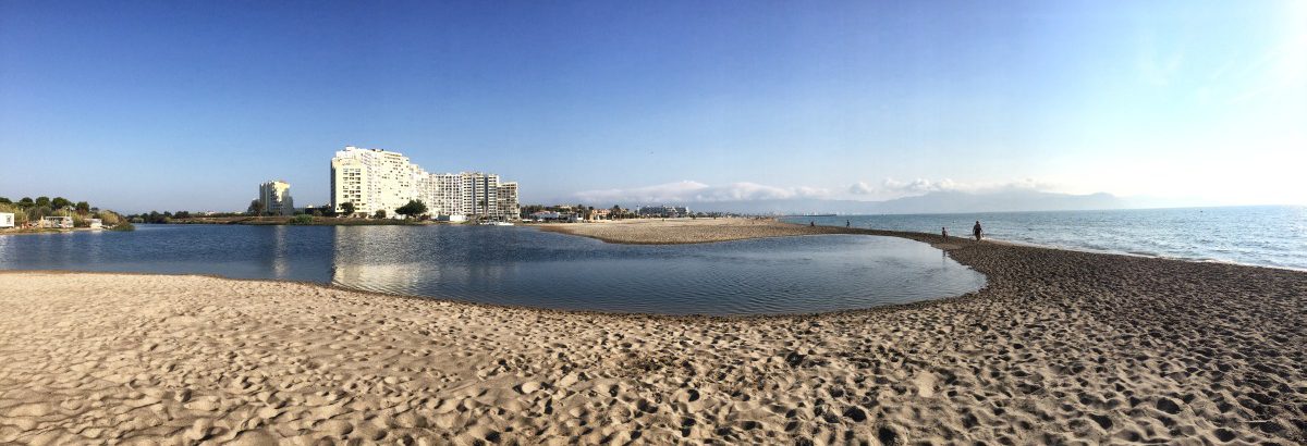
  • In the immediate vicinity of the hotel castles of Empuriabrava, a lonely stretch of coast begins

From Empuriabrava to L'Escala - first along the beach, then through orchards in the hinterland

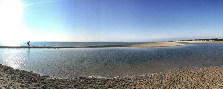
July to March: If you are on the GR 92 between July and March, you can shorten stage 4 with a beautiful beach hike of about 4 km: At the south-western end of Empuriabrava, the river "La Muga" flows into the sea, but in summer it often has so little water that you can cross the river mouth directly on the beach with dry feet.

April to June: Between 01 April and 30 June, however, the beach section belonging to the Parc Natural dels Aiguamolls de l'Empordà is closed due to the bird breeding season (see also Flyer). This means that a diversion is necessary in spring (approx. 5 km additional distance). To do this, first walk on the outskirts of Empuriabrava to the bridge, which is about 2 km inland at the sewage treatment plant. From there, you walk through the visitor centre of the nature park in an arc back towards the beach.

Both variants meet again at the beginning of the Almata campsite (www.almata.comHowever, immediately after the campsite, the GR 92 turns right again into the hinterland. If you are walking along the beach, you should not be misled by the first GR 92 sign in front of the campsite: We only turn right after the campsite! From here we head into the hinterland and walk past orchards and agricultural fields.

We pass through the village of Sant Pere Pescador and continue on to L'Armentera, where we can recommend the restaurant Ca La Gemma for a hearty Catalan lunch.www.calagemma.com/en/home).

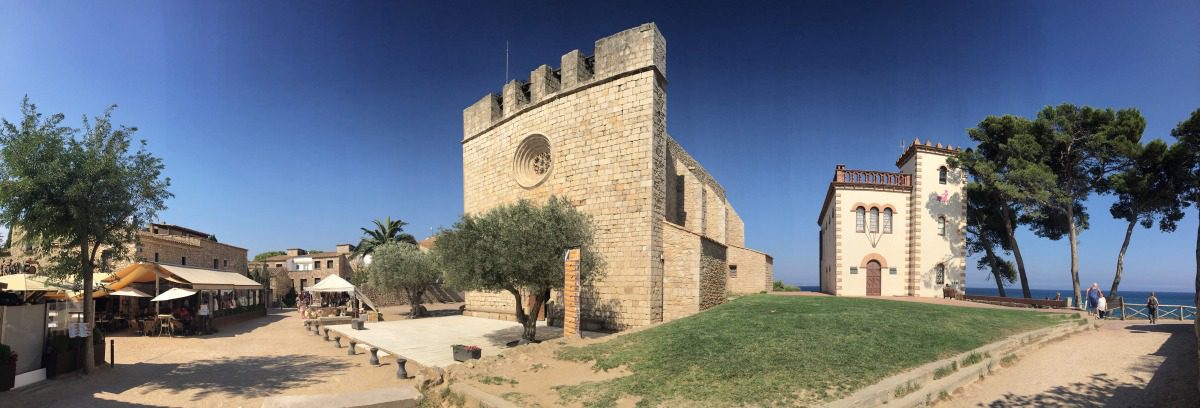
From L'Armentera, the GR92 goes through the flat hinterland and only turns back towards the coast at the village of "Cinc Claus". Here we meet the medieval "Sant Martí d'Empúries", and shortly afterwards we walk past Greco-Roman ruins. The path runs along the promenade above the beach to L'Escala, our destination today. Overnight accommodation is available both near the beach and a little further into town..

Facts about stage 4

Altitude metres: 120 m ascent / 120 m descent
Route: 20.5 km (during the bird breeding season from 01 April to 30 June: 26 km)
Duration: 6:15 h (during the bird breeding season from 01 April to 30 June: 8:00 h)
Overnight stay: Hotels and guesthouses in L'Escala

Route download - GR92 stage 4 - from July to March (GPX file)

Route download - GR92 stage 4 - from April to June (GPX file)

All other downloads can be found at Map material.

Picture gallery for stage 4


Recommended hotels and guesthouses

GR92 Stage 5: Map

Stage 5: Route description

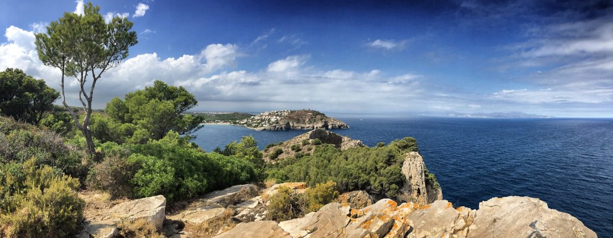
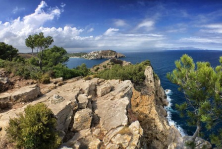
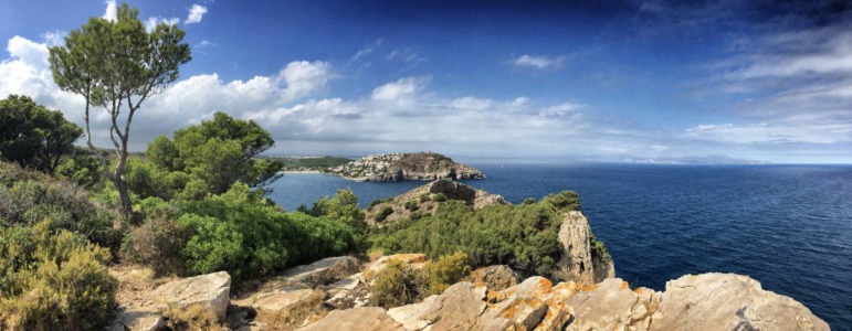
  • The ideal place for a lunch break: distant view above "Cala Montgó". The viewpoint at "Punta Ventosa" was formerly used for military purposes.

From L'Escala to the medieval village of Torroella de Montgrí

The fifth stage of our Costa Brava hike is relatively strenuous - not only is there a longer distance to cover, but also quite a bit of altitude gain. One climb in particular towards the end of the day is quite demanding.

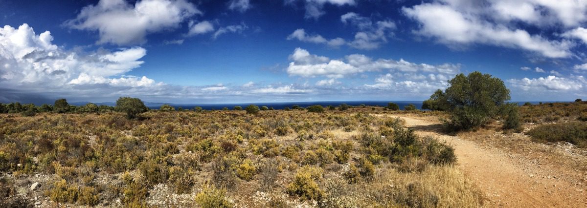
In L'Escala, the path leads us first along the "Passeig de Mar" along the seafront promenade through the town until we reach the harbour. Then we climb slightly uphill and walk through the "Parc Natural del Montgrí". From now on, the GR-92 becomes an unpaved coastal path again, which we continue to follow with slight ups and downs. We pass the beautiful bay of Cala Montgó. Shortly afterwards, the viewpoint "Punta del Milà" is a good place for a picnic. At this point, the path turns inland and then runs parallel to the sea on an elongated plain for a few kilometres.

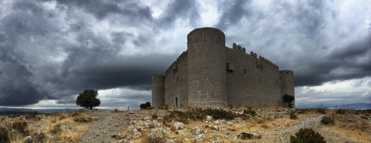
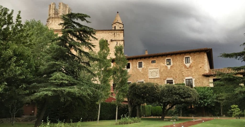
In the distance, even further inland, the Montgrí massif is already visible - we still have to cross it today. The way there drags a little, the ascent is strenuous, but the effort is worth it: the appearance of the castle "Castell del Montgrí" with its thick walls and towers is worthy of a film. The descent to Torroella de Montgrí, today's destination of our stage, also takes a long time. But the medieval village offers interesting overnight accommodation:  either in a historic palace or at the Hiking Hotel GR92.

Hint: On the ascent from the bay "Cala Montgó" to the "Punta del Milà", the path partly leads quite close to the steep coast. A section of about 10 metres is sometimes perceived as unpleasant by hikers with a fear of heights (see comment by Jörg). So it's definitely doable, but a short stretch may require some courage or avoiding the potentially tricky area (see the screenshot).

Facts about stage 5

Altitude metres: 560 m ascent / 540 m descent
Route: 21.0 km
Duration: 8:15 h (without breaks)
Overnight stay: Hotels and guesthouses in Torroella de Montgrí

Route download - GR92 stage 5 (GPX file)

All other downloads can be found at Map material.

Picture gallery for stage 5


Recommended hotels and guesthouses