Stage 8: Route description
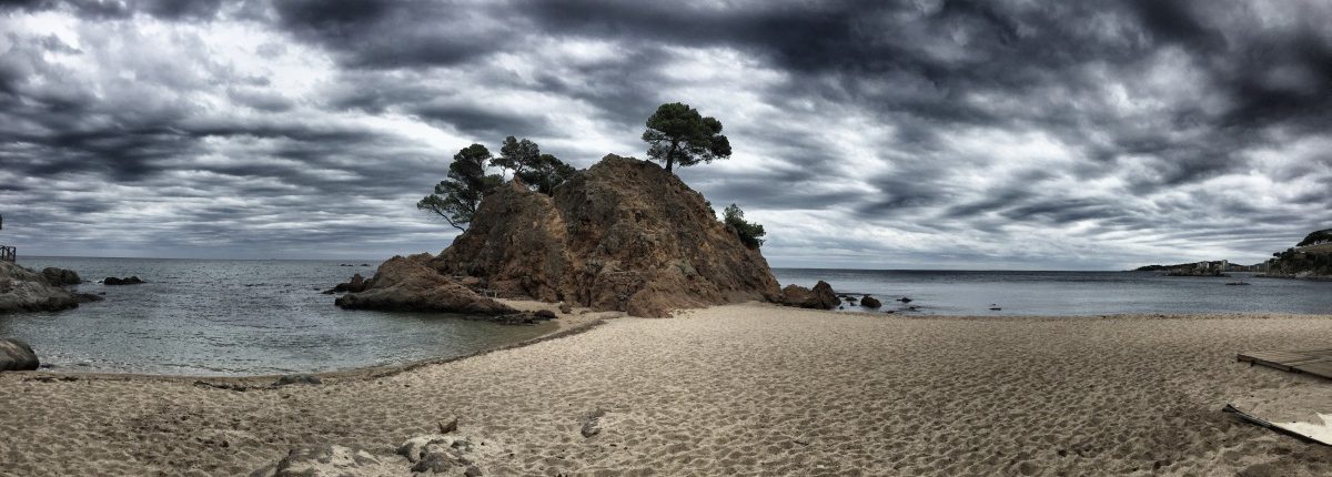
 Even in somewhat gloomy weather, the Costa Brava still has an impressive beauty
Picture gallery for stage 8

From Palamós, we first walk for a few kilometres along the beach promenade. Behind the "Torre Valentina" tower, a wilder part of the coast begins again.

Even in somewhat gloomy weather, the Costa Brava still has an impressive beauty

Stage 8 of the GR-92 offers many interesting field formations.

Impressive perspective on the "Cap Roig". A beach bar is right next door.

The coastal path near S'Agaró surprises with magnificent villas and this grand staircase, often used for wedding photos, named after the Catalan architect Rafael Masó i Valentí.

View of some expensive properties around "Cala Pedrosa

On the beach of S'Agaro

View from the "Punta de Cala Pedrosa" back to the villa district of S'Agaró

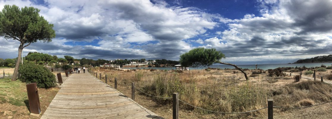
The beach of S'Agaro: The GR92 passes through the beautifully landscaped "Parc de les Dunes" here.
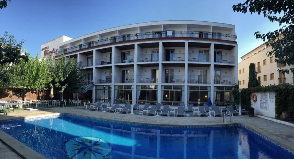
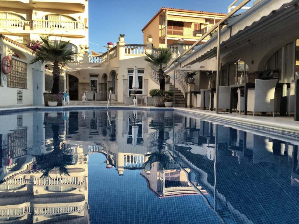
Recommended hotels and guesthouses
Stage 9: Route description
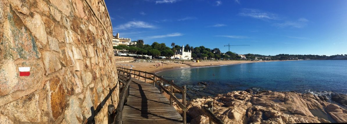
 The beach of Sant Pol near S'Agaró: here, too, there is no shortage of red and white signposting on the GR-92.
Picture gallery for stage 9

The beach of Sant Pol near S'Agaró: here, too, there is no shortage of red and white signposting on the GR-92.

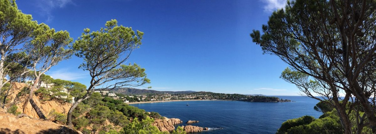
Between S'Agaro and Sant Feliu de Guíxols: Bewitchingly beautiful coastal landscape!

Clear water and rugged rocks are typical of this stretch of the Costa Brava

View back to the bay of S'Agaró

Between S'Agaró and Sant Feliu de Guíxols, the Costa Brava shows its most beautiful side

Just before the bay of Sant Feliu de Guíxols

Between Sant Feliu de Guíxols and Tossa de Mar, the route leads along lonely paths into the hills of the hinterland.

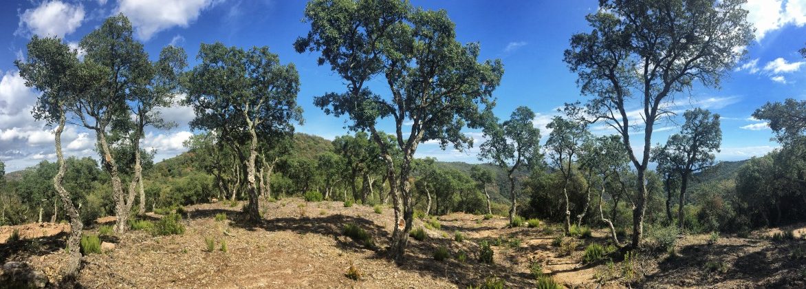
Stage 9 leads through cork oak forests

View of Tossa de Mar

The bay of S'Agaró

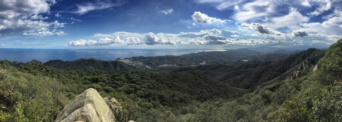
One of the highest viewpoints on the entire route since stage 1