Stage 1: Route description
 At the beach "Platja de Garbet" between Portbou and Llançà
Picture gallery of stage 1

View back to Portbou station

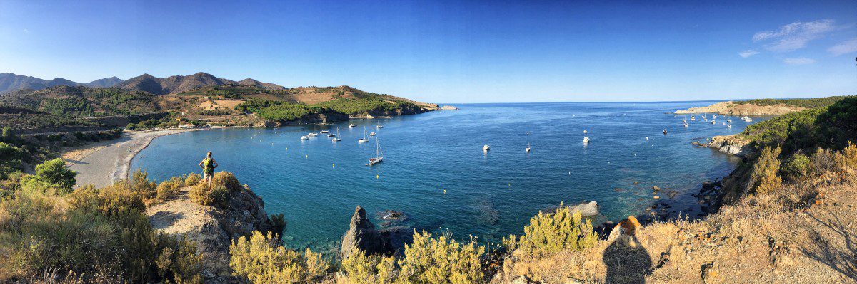
Shortly after Colera: behind the railway line lies the "Platja de Garbet", the first of many bays we will see on the GR-92!

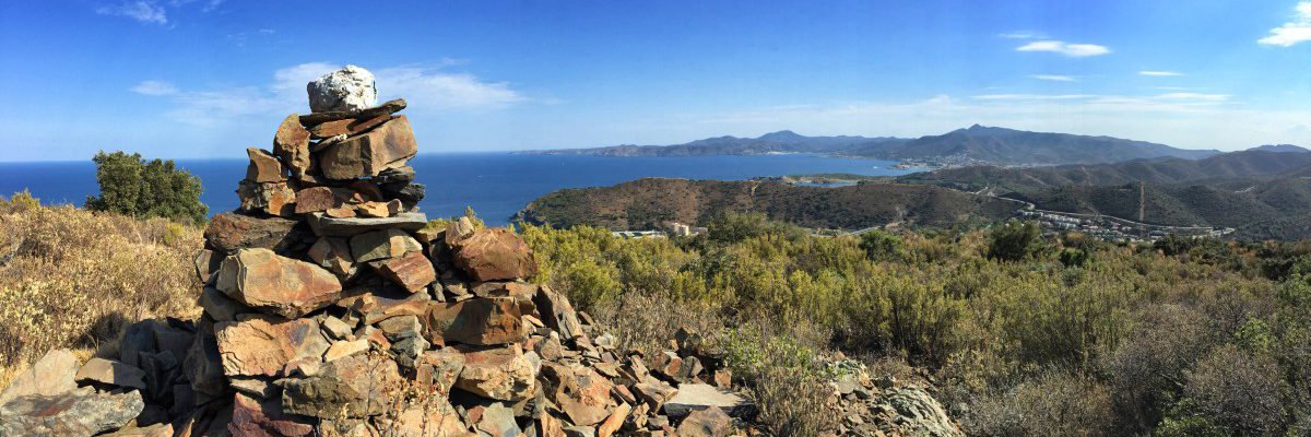
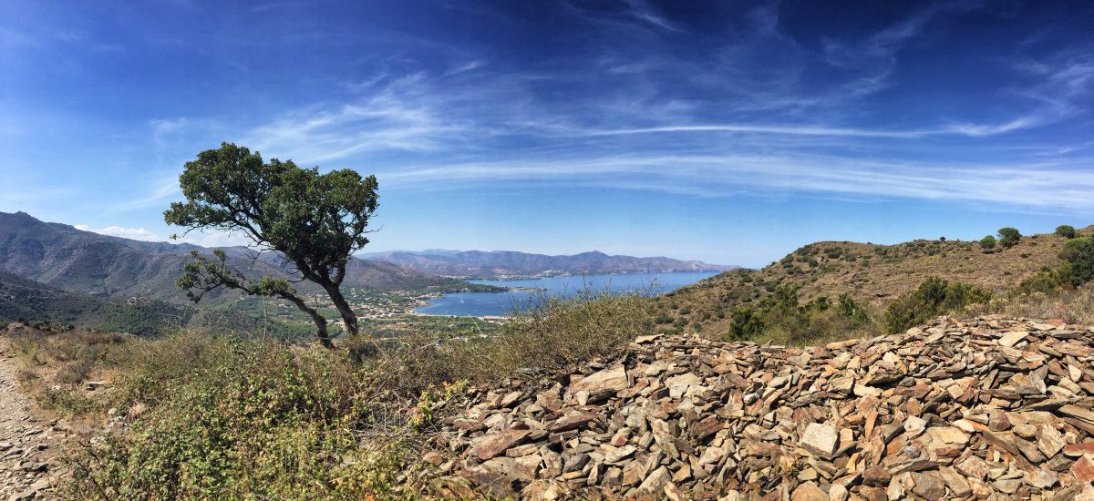
The highest point of stage 1 offers spectacular views of Cap de Creus ahead

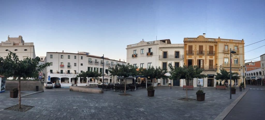
View back to the small village of Colera. The village square is a good place for a short stop with cold drinks.

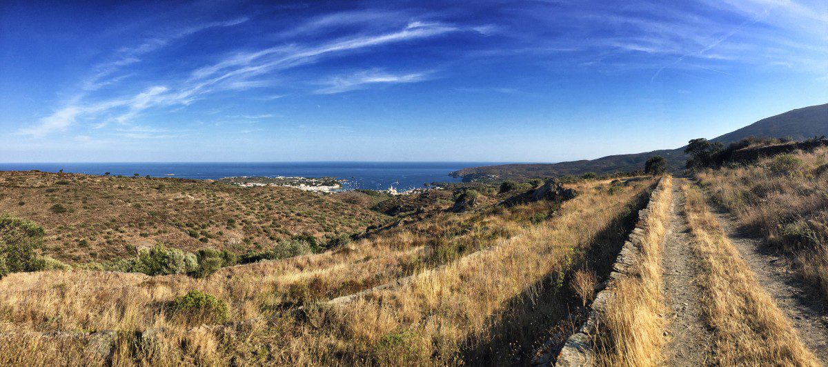
The Cap de Creus lies ahead

Snapshot on the stage between Portbou and Llançà

At the beach "Platja de Garbet" between Portbou and Llançà

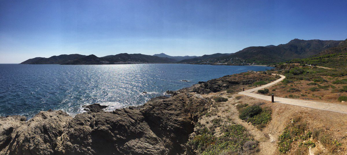
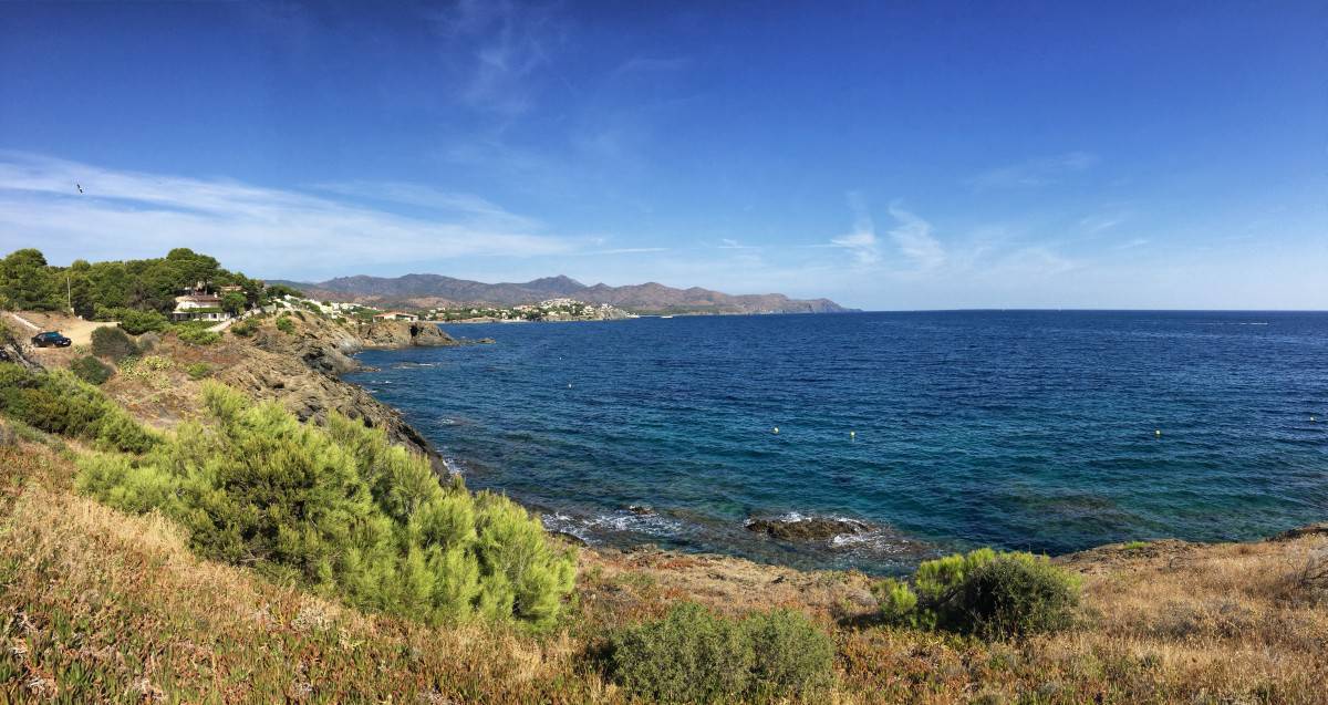
If you hike out the entire headland after the "Platja de Garbet", you will be rewarded with this lovely view.
Recommended hotels and guesthouses
Stage 2: Route description
 Between Llançà and El Port de la Selva, the GR92 is more promenade than hiking trail
Picture gallery for stage 2

More promenade than hiking trail: the footpath from Llançà to El Port de la Selva

The path is partly led over wooden footbridges and is therefore very comfortable to walk on.

Varied hiking on the GR92: Here on boardwalks above a bay

Between Llançà and El Port de la Selva, the GR92 is more promenade than hiking trail

The coastal village of "El Port de la Selva" is picturesquely situated in the first bay of Cap de Creus.

The climb behind El Port de la Selva is strenuous, but you are rewarded with a great view.

The first major climb of stage 2 is over - it's worth looking back!

Most of Cap de Creus is a nature reserve - the GR92 is very lonely here

View of Cadaqués from the last hill of Cap de Creus

Shortly before the finish of stage 2: Cadaqués with its white houses and boats

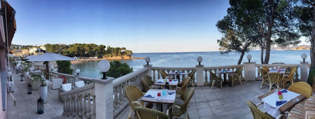
Upscale beach gastronomy in Cadaqués